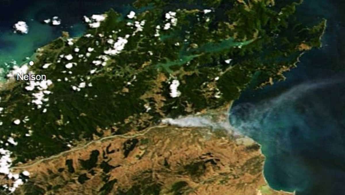
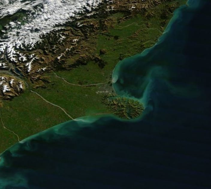
CawthronEye is a custom-built website that displays enhanced, true colour NASA satellite images of New Zealand’s coastal waters that are used to understand and communicate changes in our coastal environments.
What is CawthronEye?
CawthronEye is a website showing regularly updated satellite images of New Zealand, and the world. Cawthron scientists developed CawthronEye to support their coastal and freshwater research and complement data collected from their hi-tech buoys like TASCAM and KūtaiCam that are deployed around New Zealand.
What does it do?
CawthronEye displays enhanced true colour NASA satellite images of New Zealand’s coastal waters within as little as three hours, making it a useful tool for ocean users.
KūtaiCam records long-term information on simple but significant parameters like water temperature, air temperature, wind velocity and direction, wave height and direction and water currents. The water currents are measure continuously at 1 meter steps down to 40m deep.
Who uses the data?
Of particular interest to divers, the website can indicate water clarity, enabling them to check conditions in remote locations before a dive. Additional data layers such as sea surface temperature and chlorophyll α (the major pigment in marine algae) provide useful information for seafood industries and recreational fishers.
Satellite-based imagery is also an increasingly important tool for understanding and communicating changes in coastal environments. It can clearly show what happens in coastal areas after large weather events, including where all the sediment run-off goes. This is really helpful when explaining land-sea connections and how issues like sediment run-off can affect industries such as aquaculture and fisheries.
How often is data updated?
The data is downloaded in near to real-time.

Above – Forest fires near Nelson, captured on CawthronEye.
Left – Sediment plumes from Canterbury river floods as shown on CawthronEye.
Ben Knight
Marine Biophysical Scientist

